As infrastructure grows more complex, decisions can no longer rely on outdated drawings. Accurate digital surveying has become the foundation on which every modern project is planned, built, and maintained.
What does "digitalisation" of a project really mean? 🛰️
A drone survey isn't just "photos from above." It's a chain of data that turns physical reality into precise, measurable deliverables. Here's what it produces — each one a deliverable in its own right:
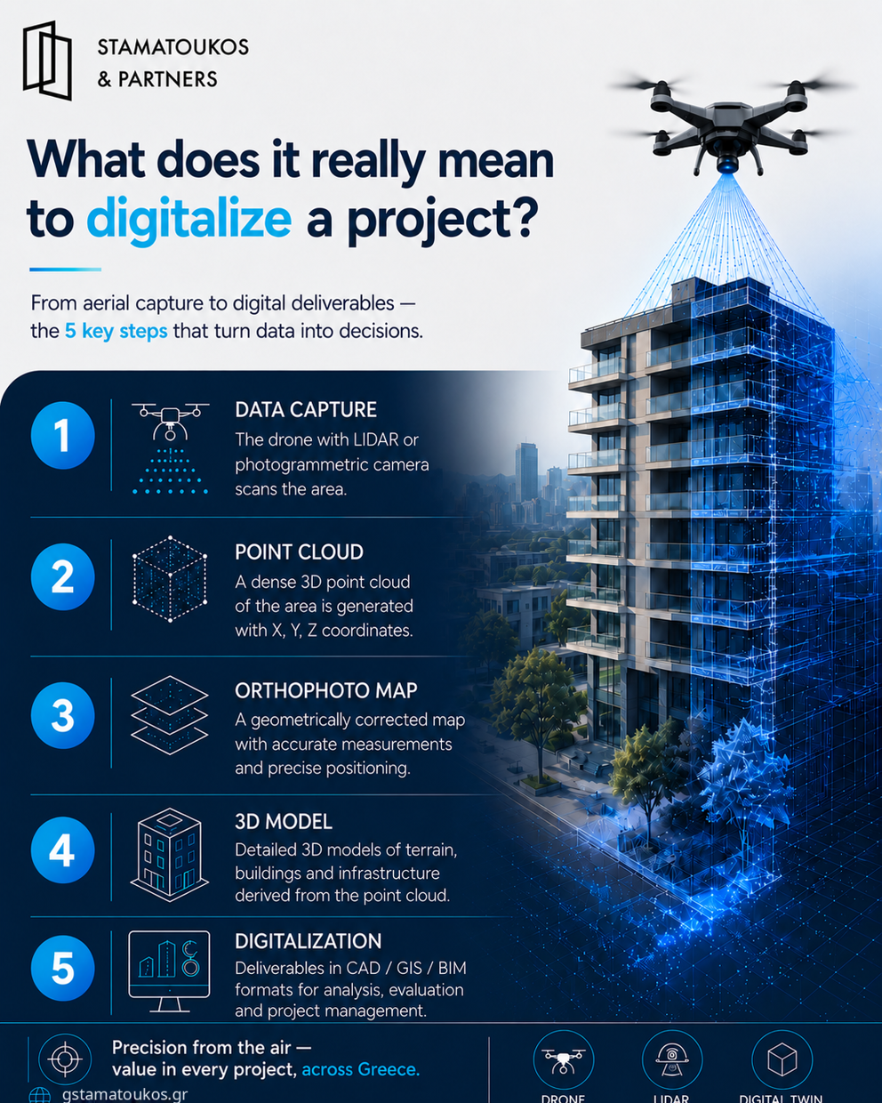
1️⃣ Data capture
The drone (UAV), equipped with a LiDAR payload or photogrammetric camera, scans the area, recording millions of georeferenced points and images.
2️⃣ Point cloud
The data is merged into a dense three-dimensional cloud of points. Each point has X, Y, Z coordinates — essentially a precise "scan" of reality.
3️⃣ Orthomosaic
The images are geometrically corrected and stitched into a single map, where every point sits in its true position and distances can be measured accurately.
4️⃣ 3D model
From the point cloud we generate surface and structural 3D models of the terrain, buildings, or infrastructure.
5️⃣ Digitalisation
The final step: the data is converted into usable deliverables (CAD/GIS/BIM) — ready for design, licensing, project management, and maintenance.
The result? Less time in the field, greater accuracy, and a complete digital representation of the project that "lives" and stays up to date over time.
At Stamatoukos & Partners, this is part of our daily work on infrastructure and network projects across Greece.
#Drone #LiDAR #PointCloud #Photogrammetry #DigitalTwin #Surveying #Digitalisa